No products
Prices are tax included
Product successfully added to your shopping cart
There are 0 items in your cart. There is 1 item in your cart.
DJI Mavic 2 Enterprise Dual - RGB & Thermal
MAVIC2-ENTD
New
This product can only be purchased with a bank transfer
Please contact us for an ETA
Out of stock
- Write a review
More info
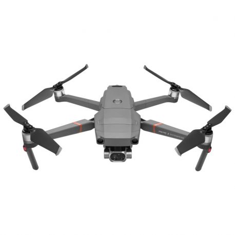
DJI Mavic 2 Enterprise Dual RGB & Thermal Sensors MAVIC2-ENTD
- Zoom / Dual Camera Options
- Powerful Display Modes
- 31 Min Max Flight-time
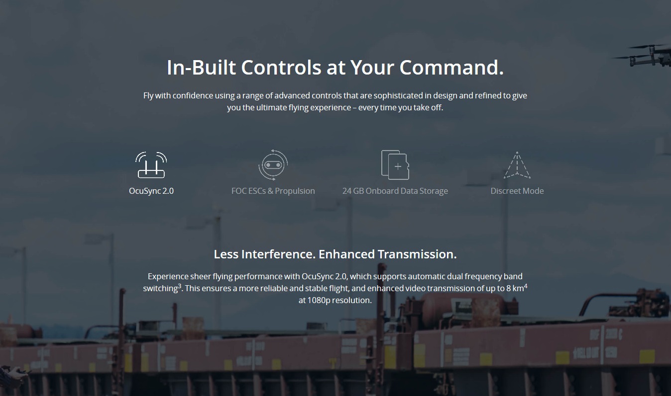
- 8 km Transmission Range
- Dynamic Zoom
- Modular Accessories
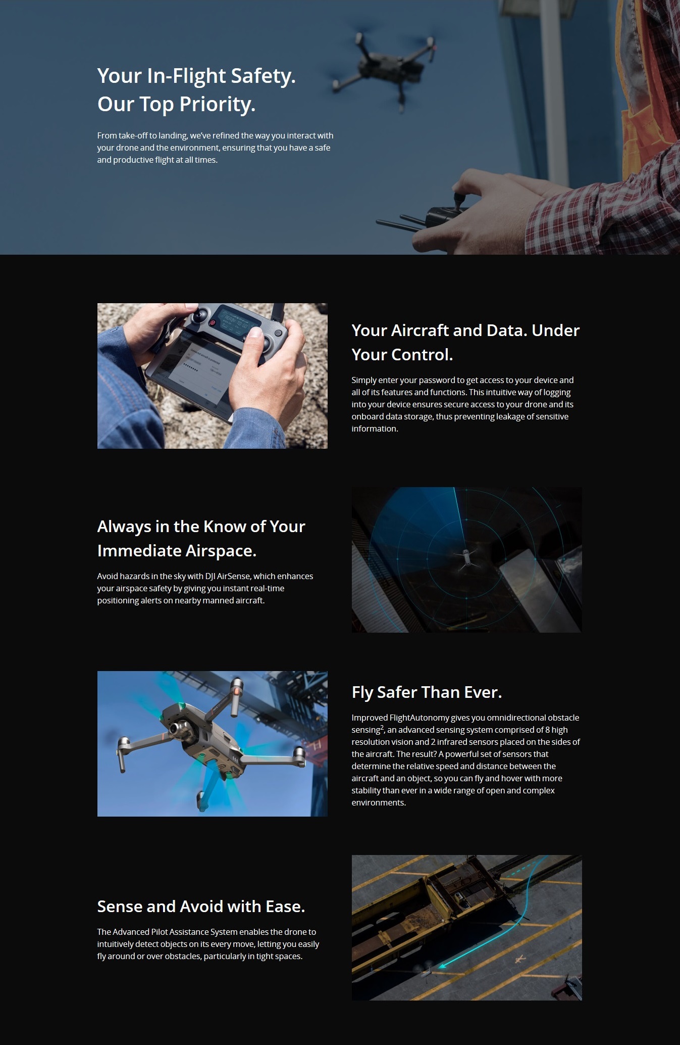
- Omnidirectional Obstacle Sensing
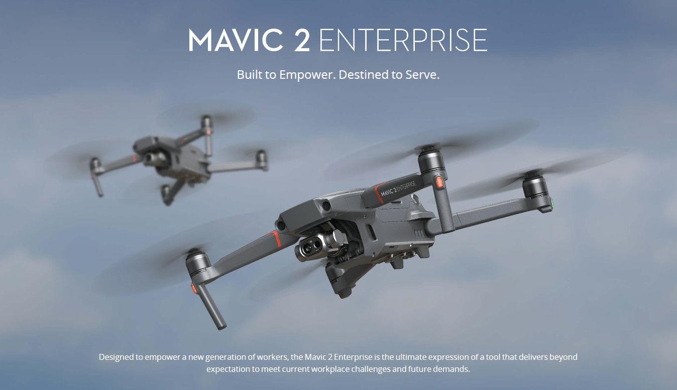
- Built to Empower. Destined to Serve
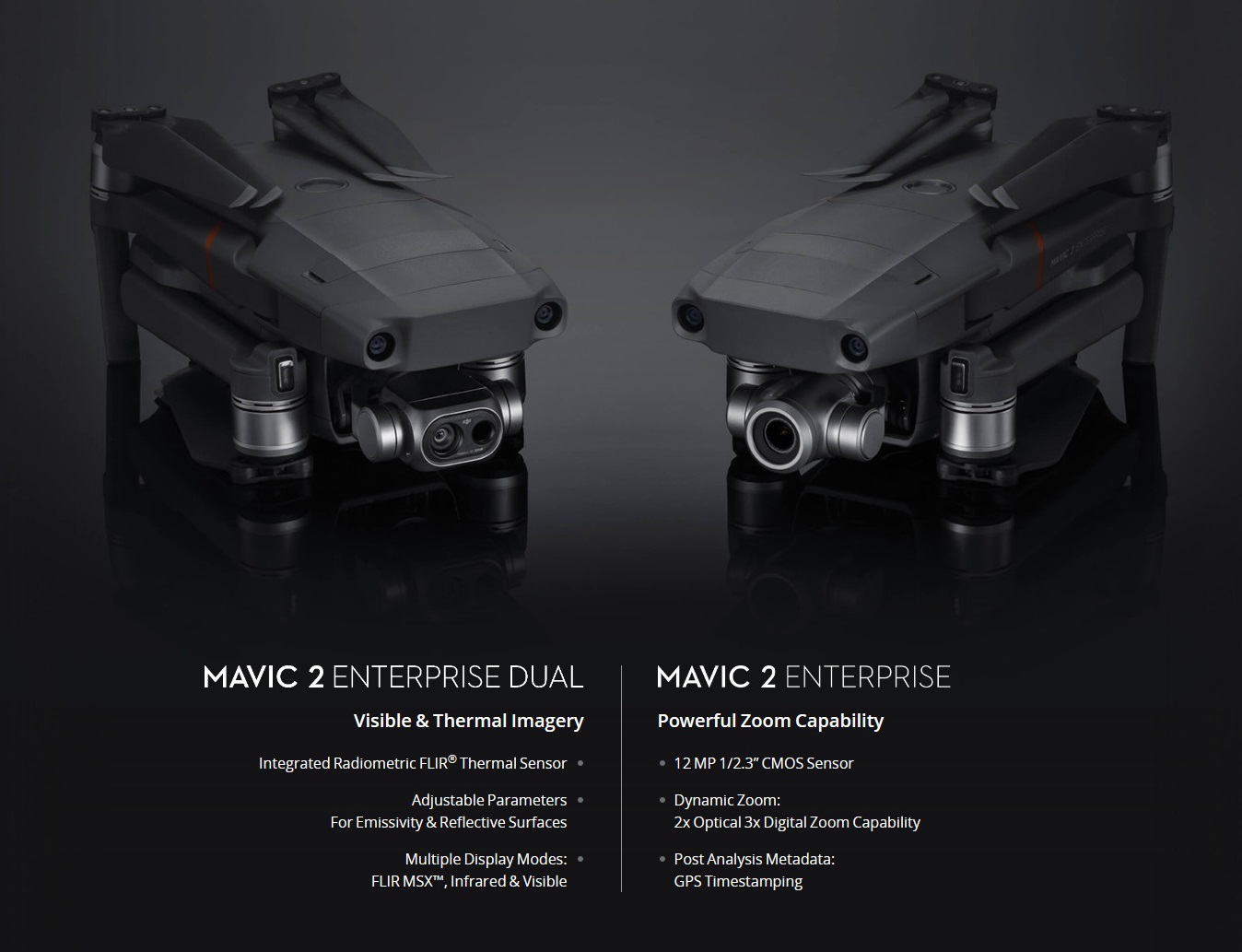
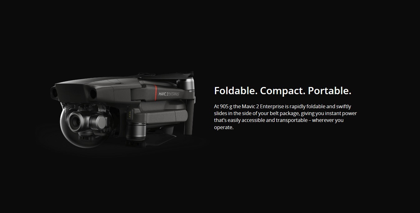
Developed in partnership with FLIR Systems, the Mavic 2 Enterprise Dual features the compact design of DJI’s Mavic 2 Series drones with the same array of advanced controls and accessories found in the Mavic 2 Enterprise. The Mavic 2 Enterprise Dual allows users to measure temperatures and conveniently store images and temperature data for efficient reporting and analysis, adding immediate value to a range of industrial or time-sensitive operations today from utility inspections to emergency response.
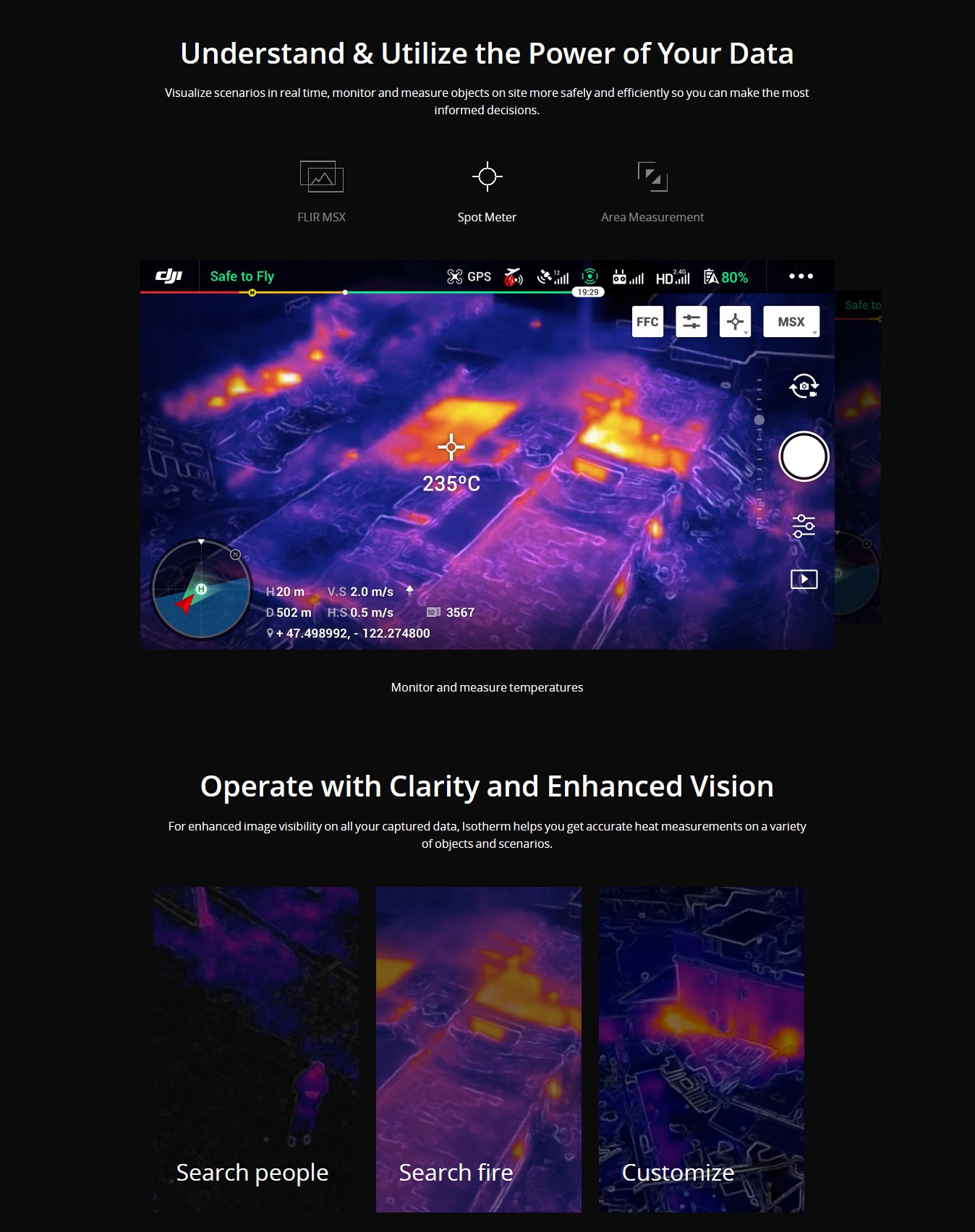
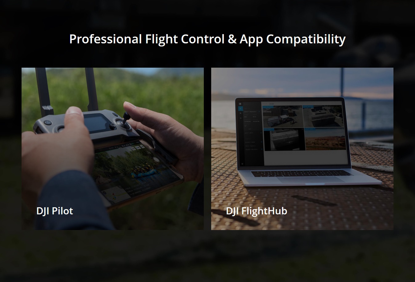
Mavic 2 Enterprise Dual features a three-axis gimbal stabilized camera housing a side-by-side 4K sensor for capturing visible light and a FLIR Lepton® thermal microcamera for capturing thermal data. Together these sensors allow pilots to perform flights at night, as well as fly in complex daytime conditions like fog and smoke[1]. Users can select from multiple intelligent display modes in the DJI Pilot flight control app to visualize data from the dual-sensor camera:
- FLIR MSX® – FLIR’s patented MSX, or multispectral dynamic imaging, embosses high-fidelity, visible light details onto the thermal imagery in real time to enhance visual details, helping pilots quickly identify and interpret critical data that may not be immediately visible to the naked eye.
- Spot Meter – Displays the average temperature of an object, helping pilots monitor and measure critical or hazardous objects while maintaining a safe distance.
- Area Measurement – Displays the average, lowest, and highest temperature, as well as the corresponding locations of each area, allowing inspectors to quickly assess objects and determine if an asset may be overheating.
- Isotherm – Allows pilots to designate specific temperature ranges to be displayed using a custom color palette so objects within the range relay higher contrast and better visibility. This feature includes custom profiles to aid search and rescue pilots in identifying people and to help firefighters identify hot spots in fires, as well as a custom profile setting for added flexibility.
Click here to add the DJI Mavic 2 Enterprise Fly More Kit
CLICK HERE TO ADD THE DJI SMART CONTROLLER
In the Box
- Aircraft
- Remote Controller
- Intelligent Flight Battery
- Spare Control Sticks (pair) x 1
- Battery Charger
- Power Cable
- Propellers (pair) x 3
- RC Cable (Lightning connector)
- RC Cable (Standard Micro USB connector)
- RC Cable (USB Type-C connector)
- Gimbal Protector
- Communication Cable (USB 3.0 Type-C)*
- USB Adapter*
- RC Cable Slider (Large)*
- RC Cable Slider (Small)* x 2
- Spare Control Sticks (pair)*
- Extended Port Cover
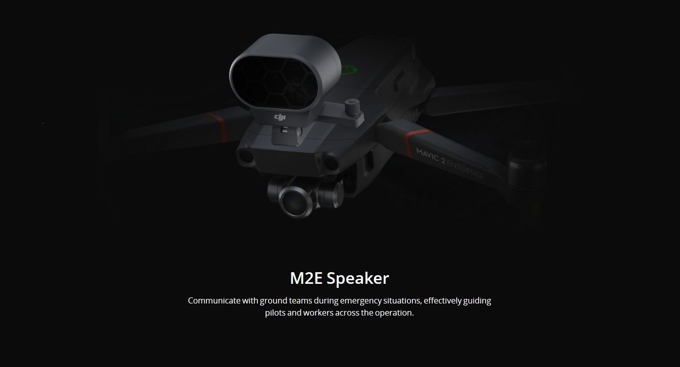
- M2E Speaker
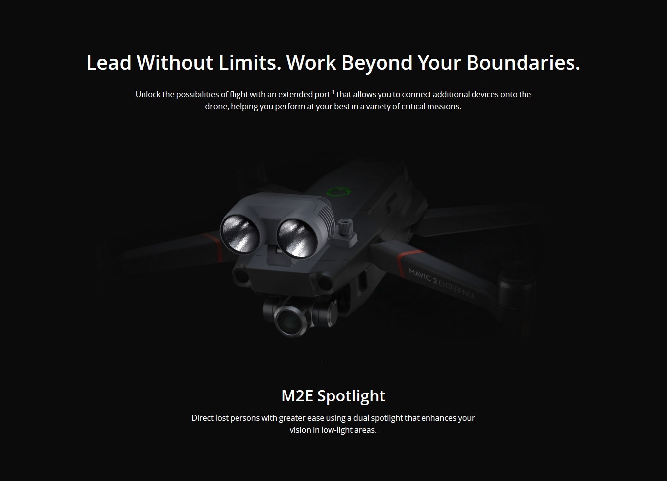
- M2E Spotlight
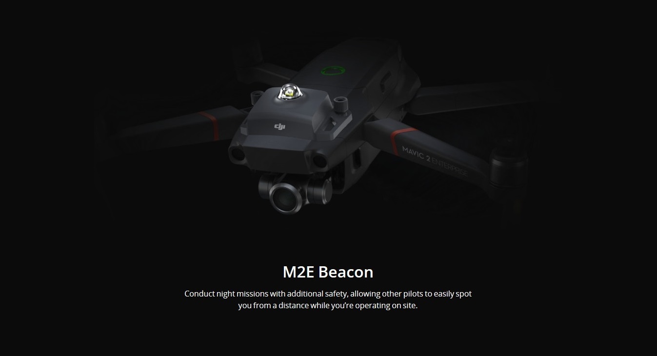
- M2E Beacon
- Protector Case
*Accessories are not covered by warranty
1. In some cases, operations with modular accessories may require special approval. Please check your local regulations.
2. Omnidirectional Obstacle Sensing includes left/right, up/down, and forward/backward. Omnidirectional Obstacle Sensing does not cover all 360 degrees of the Mavic 2 aircraft.
3. Due to local policies, some countries do not support 5.8 GHz transmission.
4. Unobstructed, free of interference, when FCC compliant. Maximum flight range specification is a proxy for radio link strength and resilience. Always fly your drone within visual line of sight unless otherwise permitted.
5. Acquired at a constant speed of 25 kph, free of wind. Actual flight time may vary because of the environment, use of flight modes, and or modular accessories.
Reviews


